Welcome to the Safe Transportation Research and Education Center
Founded in 2000, we are part of the University of California, Berkeley, affiliated with the School of Public Health and the Institute of Transportation Studies, with additional partnerships with the Department of City and Regional Planning, Public Policy, and Transportation Engineering. Our research is carried out by faculty at UC Berkeley with assistance from post-doctoral scholars, research staff, and graduate student researchers. We also help the California Office of Traffic Safety administer its Community Pedestrian and Bicycle Safety Training workshops and support various safety initiatives from other California agencies, Including the California Department of Transportation (Caltrans).
The three emphasis areas are briefly described below:
- Data Analysis and Data Tools is a necessity for understanding safety/mobility in transportation / land use planning in California. SafeTREC will build on current large scale data efforts (geocoding 15 years of traffic crashes in California, adding pedestrian and bicycle infrastructure elements to the State Highway data base, building a statewide Tribal Road Safety Data Base) to construct state-of-the-art data analysis and mapping tools for use by government agencies, researchers, and the general public.
- Technology for Road Safety, including crash warning and avoidance systems, smart infrastructure sensing systems, and automated vehicles. SafeTREC will be in the forefront of evaluating the benefits and costs of these rapidly emerging technologies. This emphasis area will also utilize technology for in-depth analysis of crash reports, data visualization techniques, and developing novel transportation safety management methods.
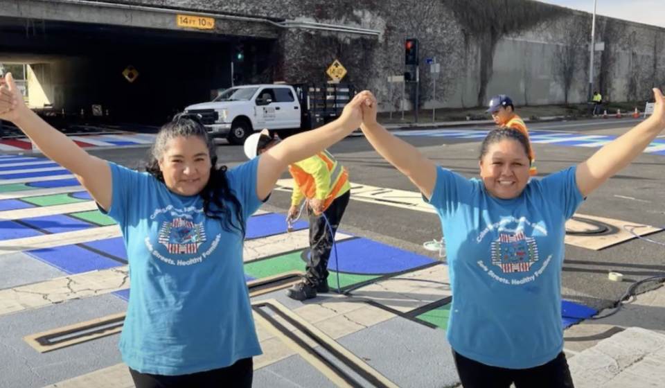
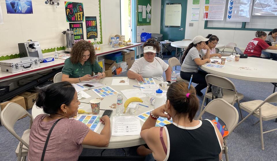
- Policy Analysis and Community Outreach will continue to be a necessity to connect with California’s extremely diverse communities to improve road safety and encourage active transportation. SafeTREC will build on existing policy analyses (e.g., Safe Routes to School) and community outreach (e.g., Community Pedestrian and Bicycle Safety Training, data analyses and presentations for local governmental agencies) to create a national model for policy analysis and community outreach.